1400 1st Ct Unit C, Pompano Beach, FL 33069
Priced at Only: $17
Would you like to sell your home before you purchase this one?
- MLS#: F10405891 ( Commercial/Industrial )
- Street Address: 1400 1st Ct Unit C
- Viewed: 9
- Price: $17
- Price sqft: $0
- Waterfront: No
- Year Built: Not Available
- Bldg sqft: 52500
- Days On Market: 431
- Acreage: 1.97 acres
- Additional Information
- Geolocation: 26.2303 / -80.1423
- County: BROWARD
- City: Pompano Beach
- Zipcode: 33069
- Building: Unit C
- Provided by: Levy Realty Advisors LLC
- Contact: Lynne Levy
- (954) 491-5505

- DMCA Notice
Description
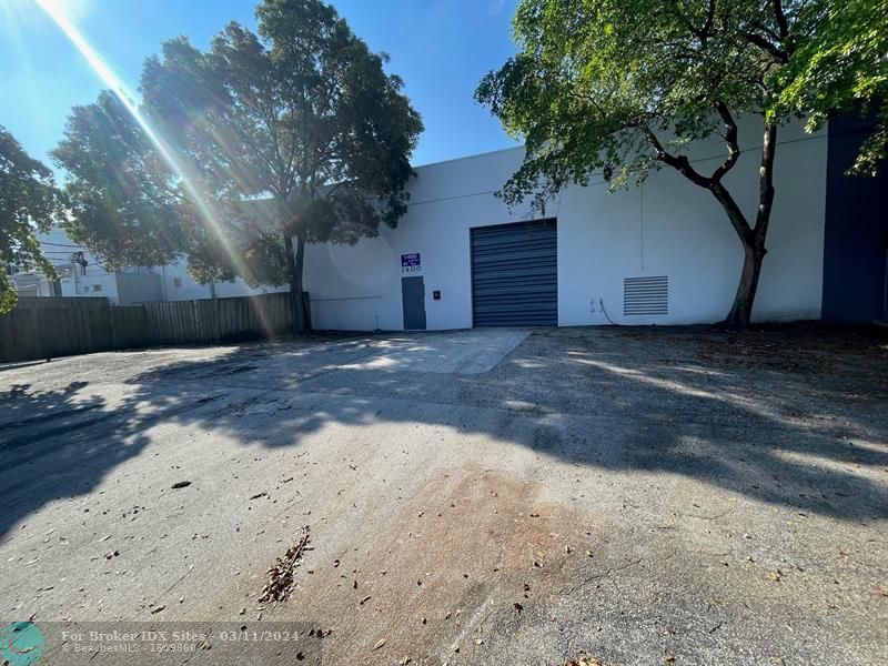
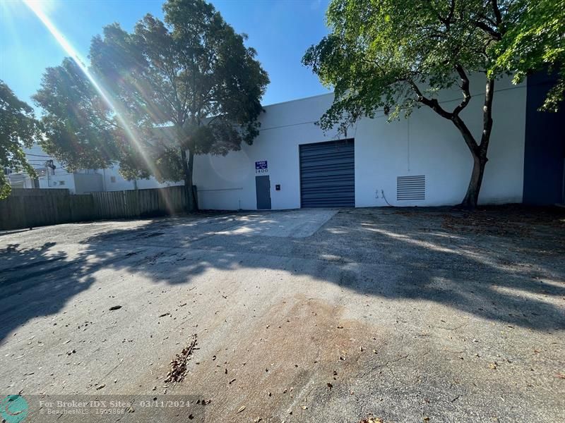
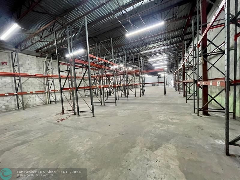
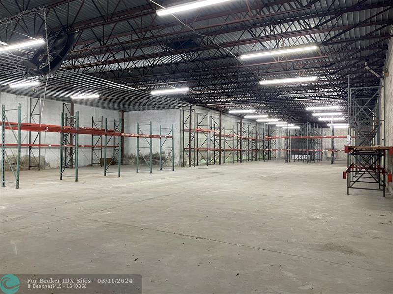
The 1400 SW 1st Ct Unit C is a warehouse end cap unit located along the southwest corner of Atlantic Boulevard and Andrews Avenue in Pompano Beach. This 10,000 SF unit is conveniently located just minutes from the I 95 interchange and within 2 miles from the Cypress Creek Tri Rail station. There is one 10 x 12 grade level overhead door in the front and cross breeze ventilation with opening in the rear. There is an approximately 2,000 SF fenced yard, 3 phase heavy power and an 18 clear ceiling height in warehouse. This property is zoned L 1 for light industrial and zoned and permitted for automotive use.
Payment Calculator
- Principal & Interest -
- Property Tax $
- Home Insurance $
- HOA Fees $
- Monthly -
Features
Building and Construction
- Construction Type: Concrete Block Construction
- Floor Description: Concrete Floors
- Maximum Leasable Sqft: 10000
- Num Stories: 1.0000
- Roof Description: Concrete Roof
- Typeof Building: Commercial, Industrial/Manufacturing, Warehouse Space
Property Information
- Transaction Type Mlx: Lease
- Typeof Property: Commercial
Land Information
- Lot Sq Footage: 85276
- Total Acreage: 1.9700
Garage and Parking
- Parking Description: Common Parking
Utilities
- Cooling Description: Central Individual A/C
- Electric Service: 3 Phase Electric
Amenities
- Common Area Maint Amount: 3.5000
Finance and Tax Information
- Security Information: Fenced
- Tax Year: 2022
Other Features
- Board Identifier: BeachesMLS
- Geographic Area: N Broward Dixie Hwy To Turnpike (3411-3432;3531)
- Legal Description: 3-49-42 GOVT LOT 1 S 243.5 OF N 540.55 OF W 350 OF E 865.83
- Locationof Property: Corner Unit, End Unit
- Parcel Number Mlx: 0021
- Parcel Number: 494203000021
- Postal Code + 4: 3227
- Unit Number: UNIT C
- Zoning Information: I-1
Contact Info

- John DeSalvio, REALTOR ®
- Office: 954.470.0212
- Mobile: 954.470.0212
- jdrealestatefl@gmail.com
Property Location and Similar Properties
Nearby Subdivisions
